
DENALI LAND SURVEYING


Our
Services
-
Topographic Surveys
Using state-of-the-art LiDAR technology, we capture millions of data points to create highly accurate 3D surface models. Our topographic surveys deliver exceptional detail for engineering design, land development, environmental studies, and large-area mapping across Middle Georgia’s diverse terrain.
-
ALTA/NSPS Land Title Surveys
Our ALTA/NSPS land title surveys meet the highest national standards for commercial real estate transactions in Middle Georgia. We document boundaries, easements, improvements, encroachments, and rights-of-way, delivering the comprehensive data lenders, attorneys, and developers need for due diligence and closing.
-
Remote Scanning
Denali Surveying uses advanced LiDAR and high-resolution remote scanning to capture detailed measurements from a distance—ideal for hard-to-access sites, structures, and terrain. Our remote scanning services provide precise 3D point clouds for engineering, construction, documentation, and analysis across Middle Georgia.
-
Site Planning & Feasibility Studies
Denali Surveying provides essential early-stage site planning services for property owners preparing to build. We document existing land conditions, elevation changes, and key constraints to help you understand what’s possible on your property. Our feasibility studies give homeowners, contractors, and developers a clear picture of land suitability, helping guide design decisions before full site plans are created.
Ready to get started? Request a survey today.
Get clear, accurate land data you can trust. Whether you're planning, building, or evaluating your property, Denali Surveying is here to guide you with precise, Middle Georgia–ready solutions. Request your survey today.
About Us
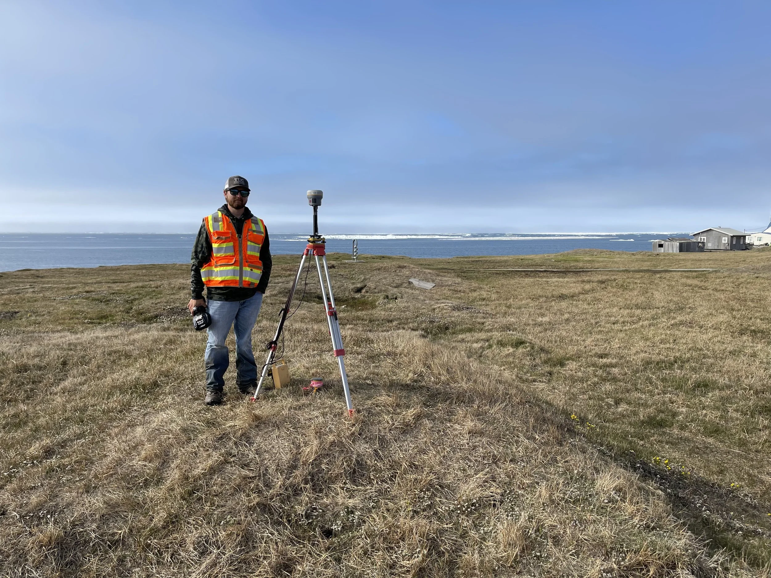
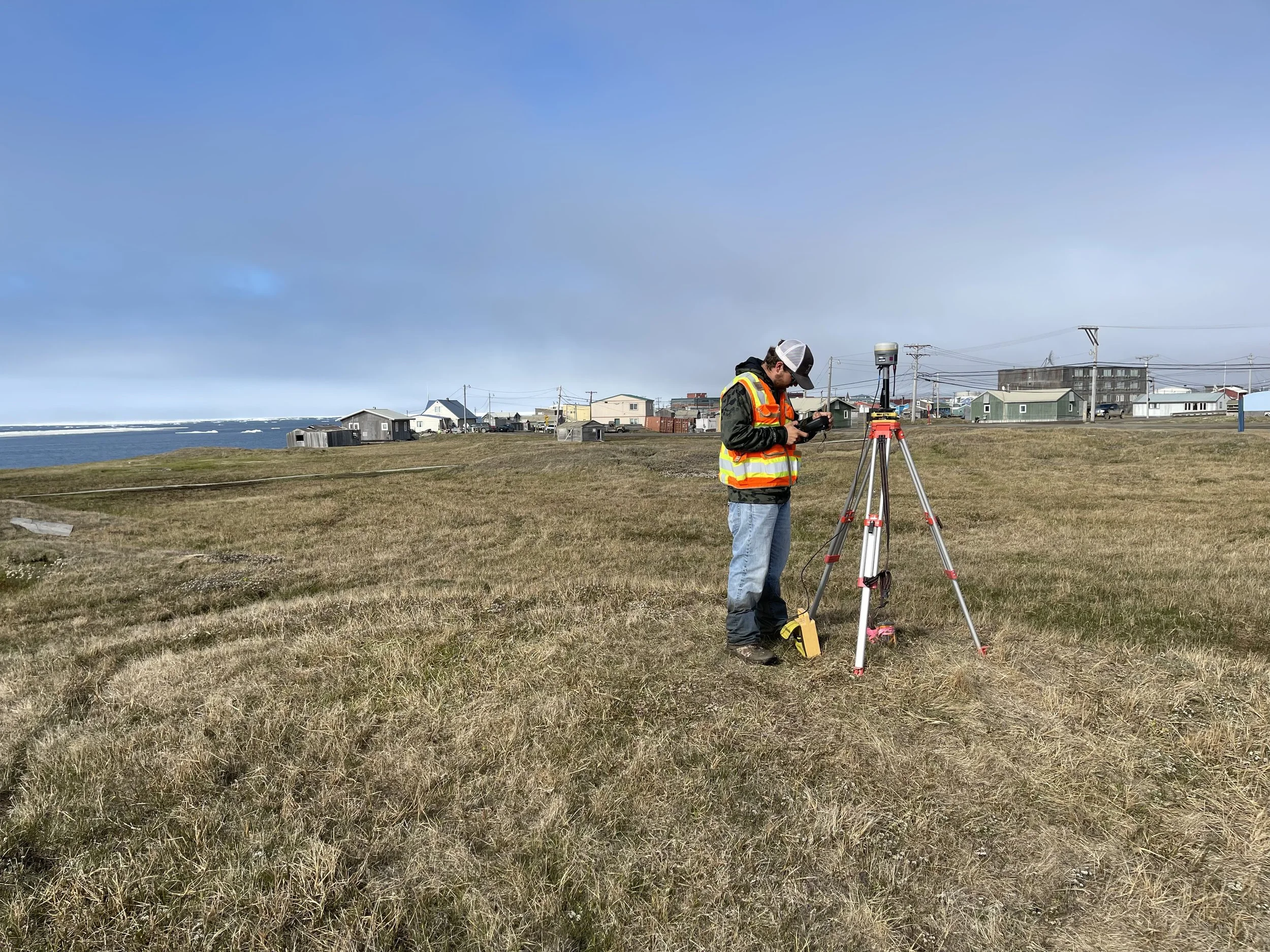
Denali Land Surveying was founded by Adam Jones, a Middle Georgia native with rare, high-level surveying experience shaped in the extreme terrain of Alaska. After earning his Construction Engineering degree from Georgia Southern University in 2021, Adam traveled to Alaska to pursue his surveying license—spending three years mapping some of the most remote, rugged, and technically demanding landscapes in the country.
That experience didn’t just refine his skillset; it shaped his approach to accuracy, precision, and problem-solving. Surveying in Alaska requires a unique level of resilience and technical expertise, and Adam brings that same standard back home to Middle Georgia.
Rooted in his hometown community—and inspired by the soaring topography of the Last Frontier—Adam created Denali Land Surveying to combine the best of both worlds: advanced, field-tested surveying methods and a deep commitment to serving Macon, Warner Robins, Perry, and surrounding areas with excellence.


What Our Clients Say